Researchers speed up archaeological assessment process
Published Friday, January 30
Completing archaeological and cultural land surveys quickly is key to developers, and doing them thoroughly is crucial to preservationists. But assessments take time. Sometimes lots of it.
The time can be costly on new construction projects when companies cannot break ground before government-mandated examinations are completed. An accelerated process also would help anthropologists and geologists cover more ground for their research.
A multidisciplinary team of NDSU researchers is building on the traditional steps of landscape analysis to not only make it faster, but also remove some of the subjective nature of manually evaluating areas for potential historic importance.
For years, anthropologists and geologists have been doing the job the only way possible, with data on the desk and boots on the ground. They’ve used information from as many sources as possible to identify land characteristics, such as slopes and curvatures, that can indicate cultural sites before visiting. Then they’ve walked the land, which can be difficult and time-consuming in areas with dense vegetation, challenging terrain or limited access.
![]()
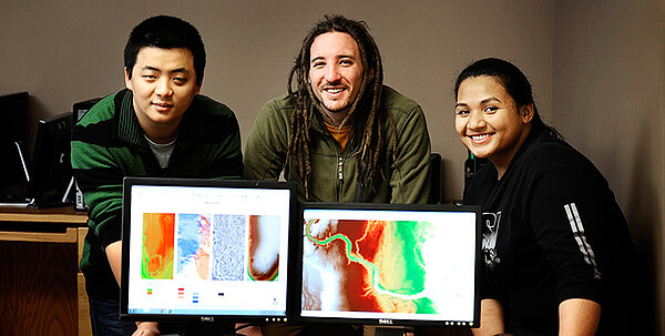
NDSU researchers are speeding up the archaeological assessment process so potential historic sites are fully protected and developers can proceed with fewer costly delays.
In recent years, scientists have incorporated remotely sensed data collected through Light Detection and Ranging, or LiDAR. The system consists of aircraft-mounted equipment that sends and receives pulsed laser beams. The light reflects off of the landscape's surface and provides detailed topographical information that can be transformed into precise 3-D images.
Stephanie Day, assistant professor of geosciences and the project’s principal investigator, said that until now, data needed to be reviewed manually. That presented a challenge.
“North Dakota has not been mapped completely yet, and even if it had, it would take someone years to go through all the LiDAR data,” she said.
A computer program developed by Shuhang Li, a graduate student in computer science, cuts the time down. The algorithm filters through immense amounts of information, eliminates what isn’t important and focuses on specific markers. It looks for certain patterns in the land's surface, then uses a sophisticated data mining process to further narrow the search. He continues to refine the code as the team learns more about what does or does not work.
“With our automated system you feed the data into the algorithm, and in a sense it learns to look for the right topographical characteristics,” Day said.
Once they’re identified, someone needs to walk the land to compare in-person observation with computer analysis. It’s called “ground truthing,” and in North Dakota Matthew Radermacher, a master’s student in anthropology, is doing the job.
"This has immense implications for the work we do in North Dakota and all over the world. This should make the site identification process much faster, especially for large data sets covering hundreds of square miles," Radermacher explained. "Because of the prairie grasses in North Dakota, some of the features are hard to see during our field surveys. Now we can look at the area before we ever check it out in person."
The team is testing the program’s accuracy by feeding it data from previously identified sites and comparing the new data to what was already confirmed. So far, the algorithm has matched more than 80 percent of the culturally defined properties within the training sets.
Nolita Motu, another master’s student in anthropology, has been doing the same legwork in American Samoa. By using the program to evaluate data from two areas that are fundamentally different, Day said, the team hopes to identify techniques that can be used by anyone anywhere in the world.
The next step will be to incorporate remotely sensed data from NASA satellites to gain an even clearer view of the landscape.
The NDSU team also includes Jeffrey Clark, chair and professor of sociology and anthropology; Anne Denton, associate professor of computer science; Donald Schwert, chair and professor of geosciences; and Seth Quintus, who completed his master’s in anthropology at NDSU in 2011 and is now a postdoctoral researcher in geosciences.
The research extends National Science Foundation-funded work initiated by Clark that has been ongoing for several years. This portion is funded by a $30,000 seed grant from the NASA Space Archaeology Program through the North Dakota Experimental Program to Stimulate Competitive Research, known as ND NASA EPSCoR. The funding award is NASA EPSCoR RID NNX13AB20A, sub-award 10137-18182.